
 Innovate UK R&D Backed
↗
Spatial AI & Cloud Platform
Orio Spatial AI Platform
Minutes — Down from days for 3D spatial scene preparation
Species-level forest carbon stock, above-ground biomass, stem volume, and canopy height modelling fusing ALOS PALSAR, RADARSAT-2, and Landsat field validation.
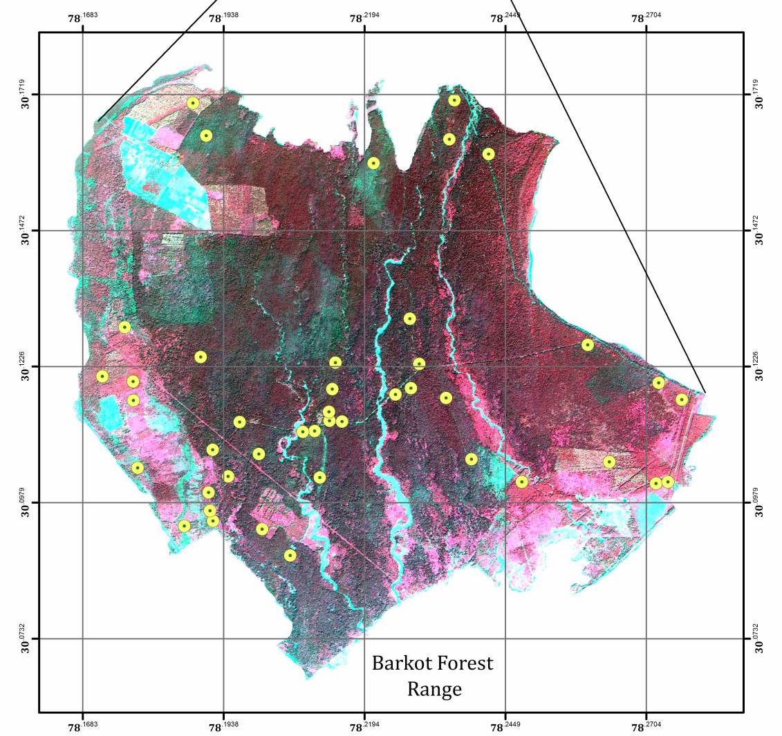
Reliable forest carbon accounting and deforestation monitoring in dense subtropical forests are frequently blocked by persistent cloud cover and optical signal saturation. Environmental decision-makers needed plot-validated estimates of Above-Ground Biomass, stem volume, and tree height across the Barkot Forest Range.
Our Earth Observation team implemented Polarimetric Interferometric Synthetic Aperture Radar (POLInSAR) coherence modelling alongside the Inverted Water Cloud Model. Full-polarimetric L-band ALOS PALSAR provided deep canopy penetration while C-band RADARSAT-2 enabled responsive temporal monitoring, calibrated against geo-referenced Landsat IV sample plots.
Innovate UK R&D Backed
Minutes — Down from days for 3D spatial scene preparation
 SXSW Best in Show • Commercial IP Exit
$2M+ USD — Commercial beta sales across global customers
 2× Cannes Lions Gold • One Show Pencil
99.9%+ — Live matchday uptime under peak crowd spikes