

 POLInSAR & Multi-Sensor Radar
↗
Earth Observation & Climate
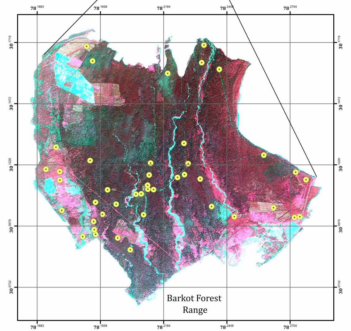
Barkot Forest Carbon Analytics
POLInSAR — Coherence-based canopy height & biomass inversion
End-to-end cloud generative 3D and spatial asset orchestration platform combining GPU vision pipelines, browser-native 3D inspection, and transactional usage ledgers.
Teams creating interactive 3D spatial environments faced slow desktop-bound pipelines, fragmented asset permissions, and unpredictable GPU compute costs. They needed a browser-accessible platform capable of orchestrating multi-stage AI and computer-vision workflows with strict workspace security and usage accounting.
Led by Principal Architect Amit Pate, we engineered a full-stack cloud platform in TypeScript, React, Babylon.js, and Python on Google Cloud (Vertex AI, Kubernetes, Cloud Run, Pub/Sub) provisioned entirely via Terraform. Key capabilities included asynchronous GPU job orchestration, automated SAM2/SAM3 visual segmentation, a double-entry usage ledger, and human quality-review stages.
POLInSAR & Multi-Sensor Radar
POLInSAR — Coherence-based canopy height & biomass inversion
 SXSW Best in Show • Commercial IP Exit
$2M+ USD — Commercial beta sales across global customers
 2× Cannes Lions Gold • One Show Pencil
99.9%+ — Live matchday uptime under peak crowd spikes