

 Innovate UK R&D Backed
↗
Spatial AI & Cloud Platform
Orio Spatial AI Platform
Minutes — Down from days for 3D spatial scene preparation
Multi-continental satellite analytics and AI-driven GIS programmes delivering up to 30% crop yield gains, adverse-weather habitat monitoring, and polar research insights.
Agronomy leaders, conservation NGOs, and polar researchers needed decision-ready insights from terabytes of noisy radar and multispectral satellite imagery across some of Earth’s harshest climates.
Built automated satellite ingestion and radiometric calibration pipelines, machine-learning crop stress and yield models, and intuitive web GIS dashboards tailored for field scientists and commercial operations teams.
Innovate UK R&D Backed
Minutes — Down from days for 3D spatial scene preparation
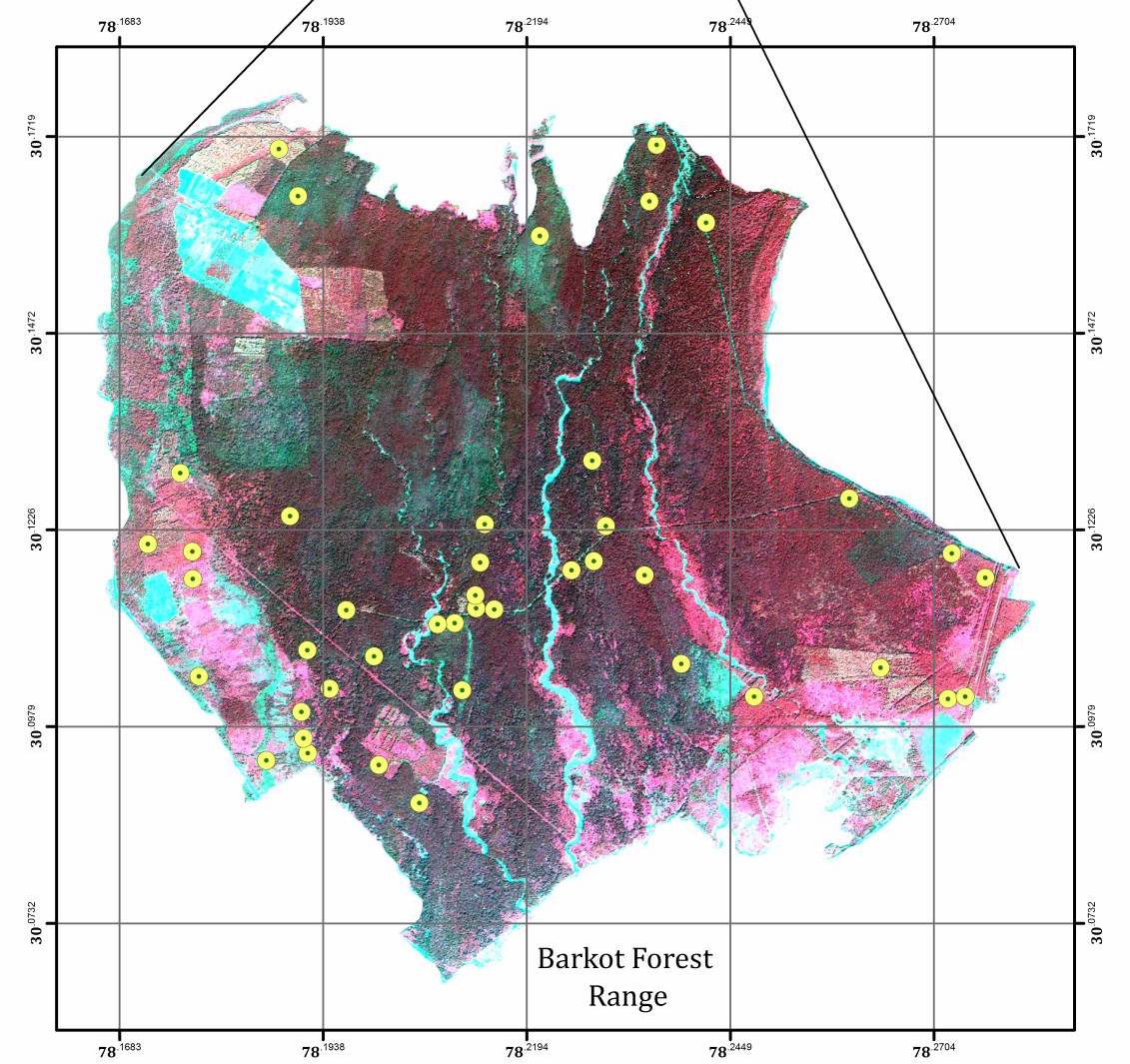 POLInSAR & Multi-Sensor Radar
POLInSAR — Coherence-based canopy height & biomass inversion
 SXSW Best in Show • Commercial IP Exit
$2M+ USD — Commercial beta sales across global customers